
 Illinois may not be known for its trails but there are some scenic walking and driving routes in Downstate Illinois that you must go see!
In this edition of Trails 'N’ Routes of the South, we will be focusing on hiking trails in the western region of Downstate Illinois’s territory.
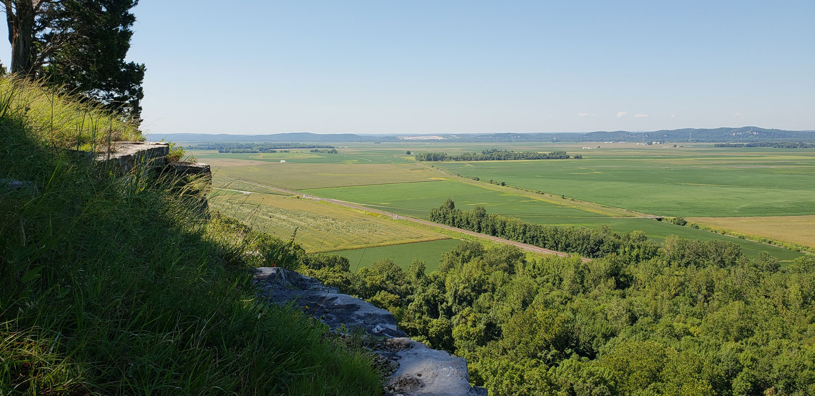
Just northwest of Prairie Du Rocher lies Fults Hill Prairie Nature Preserve Trail. This hiking trail is a 2.3 kilometers long loop and has an elevation gain of almost 400 feet, which makes for some amazing views of the lowlands surrounding the trail. This hour-long hike is rated moderately challenging. Signs at the front of the trail rate it as extreme due to the exposed areas and ledges that need to be hiked with care. Dogs are not allowed on this trail per the Illinois Department of Natural Resources due to the exposed ledges.
Heading west from Waterloo on IL Route 156, you will find the Salt Lick Point Land and Water Reserve Trailhead. This 4.7-kilometer loop, rated moderate, will have you working hard as you gain 452 feet as you meander through the forest. Taking about 1 hour 30 minutes, this trail is a wonderful way to tire your four-legged companions as this hike is dog friendly! There are some great lookout points on the hike so be sure to bring a camera for those beautiful panoramas.
Located in between Columbia and Millstadt is the Stemler Cave Woods Preserve Trails. This preserve has a few trails throughout its195 acres. The Buffer Trail Loop will show you what makes this preserve unique – sinkholes! That’s right, there are sinkholes featured on this hike that formed ponds over the years. These ponds may last hours or many years depending on when the groundwater system becomes unplugged with soil. The Buffer Loop is 2.3 miles long and is rated easy as it is well maintained and has a low elevation gain. Along the route you will  find several interpretive signs as well. Dogs are not allowed on this trail however due to the sinkholes posing a hazard.
Just south of Salt Lick Point on Bluff Road sits the White Rock Nature Preserve with a 2.1-mile trail (one way). This moderately difficult trail will have you climb up to 600 feet and includes breathtaking views at a couple of overlooks along the way! Dogs are allowed on this trail as well.
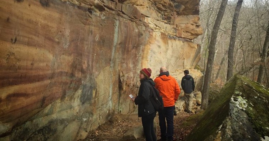
Head east of Chester to find the Piney Creek Ravine Nature Preserve Trail to try and find some prehistoric rock art! Believed to be dated back to 500 AD, these 200 designs are sure to be something to talk about for years to come! The 2-mile trail loop is rated moderate with an elevation gain of 230 feet; dogs are not allowed.